
Locations & Archeological Sites ‹‹ Go Back
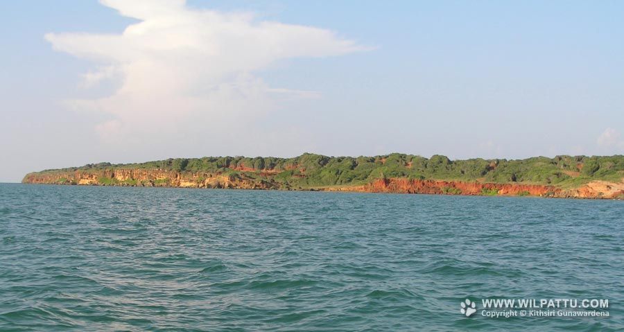
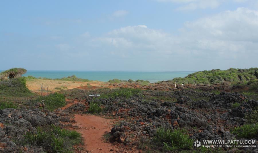
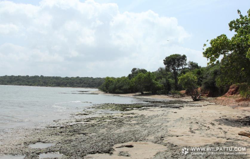
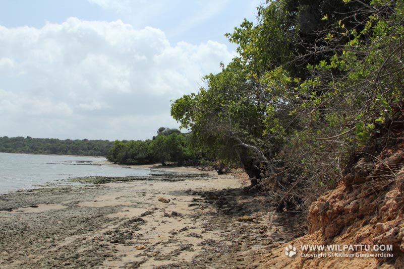
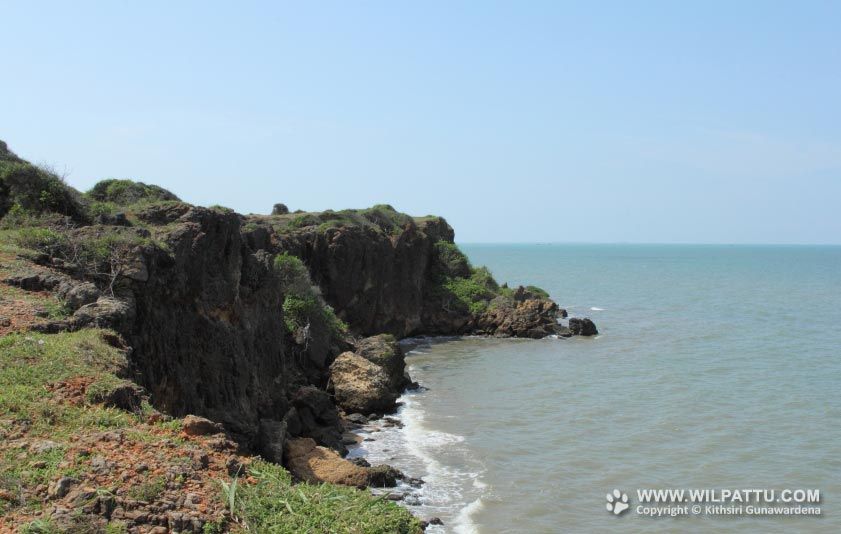

This is a location by the sea and is about 42 kilometers from the park entrance.
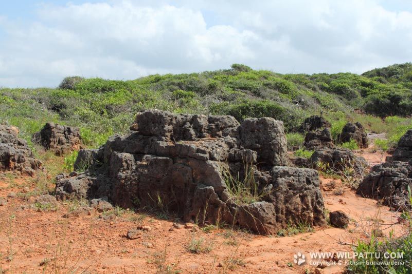
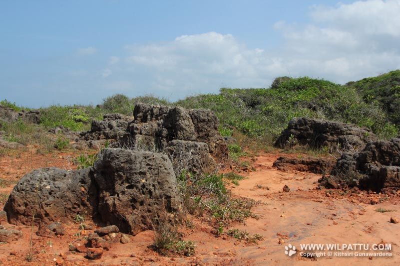
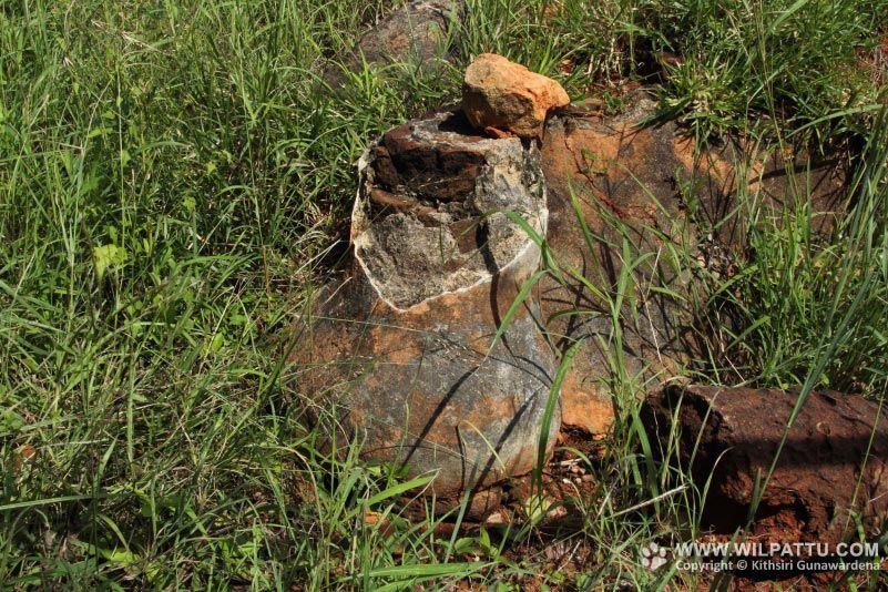
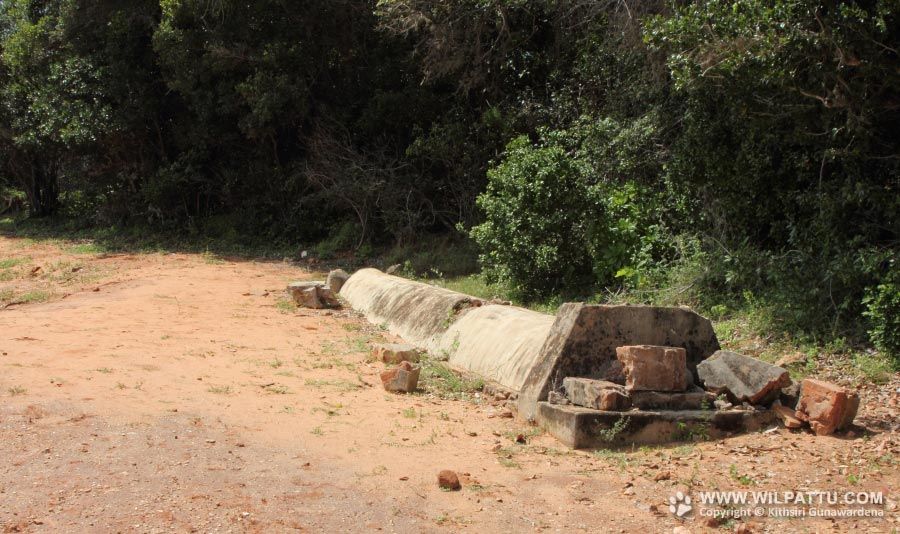
Kudiremali (Horse Mountain) is supposed to be Hippurus or Hipporas of Pliny. Hipporos, composed of the Greek words Hippos, a horse, and oros, a mountain, is an exact translation of Kudiremalai, which is derived from Kudra, the Malabar and Malay for a horse and Maya or Malaya, a mountain (Modder, 1908). Referring to the promontory of Kudiremalai, Major Forbes observed remains of a town near it, and wrote but weather it was a colony of Mohammedans or Malabars, or neither, I could not make out from the traditions concerning it; these traditions were wild in incident (Modder, 1908). During 1721, Moors living at Kilkare were looking for a trading place some where between Kudiremalai and Moderagama. Present day ruins of an ancient structure is situated on the top of Kudiremalai point. This structure has been destroyed and the western part erodes to the gulf. There is also remains of a what is believed to be a stature of a horse. Only a hoof is remaining now. Nearby, the grave of a Muslim saint lies in the beach.
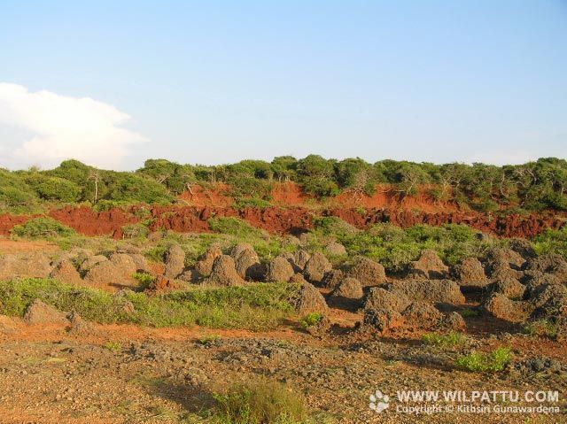
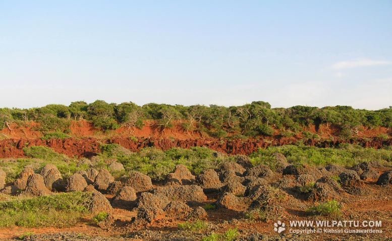
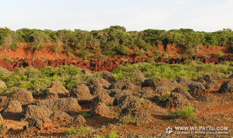
There are many legends in history involving this locality. One is that Tammanna Nuwara, where King Vijaya landed in about 500BC and founded the Sinhalese race, is said to be between Kudiremalai point and Moderagam Ara mouth. Vijaya and his followers landed here and rested by placing their hands on the ground, and in the process staining their palms a red colour. Modern soil surveys indicate a strip of red colour soil (latosols), running north and south along the western coastal belt, which emerged from the sea level a millions years ago. According to legend, Vijaya married Kuveni, the Yaksha Princess, whose palace lies in ruins at Kali Villu, and ruins near the Kokmotai bungalow are said to have been sojourned by Kuveni. Galbendi Neeravia which is located north-east of Maradanmaduwa tank, is assumed to be the place where Prince Saliya , the son of King Dutugamuu, lived with his bride of low caste, Asokamala, some 2000 years ago (Samaraweera, 1970).
Kudiremalai, or Hippurus protum is presumed to be the port to which a freedman of Annius Plocamus (who farmed the customs of the Red Sea in the region of Emperor Claudius), was unexpectedly driven after having been blown off the coast of Arabia in a violent tempest, and whose passage is said to have been fifteen days (Modder, 1908).
According to another legend, the gulf of Kalpitiya had no opening to the northward, but communicated with the sea by a canal running through in the line of present Chilaw canal; the queen named Alliarasani used to proceed from Kudiremali to Akkaripattu by land; and that a great flood came, buried her palace under the waves, and bursting through a neck of land, converted the lake in to a gulf, which form it still retains (Modder, 1908).
Mukuwas a tribal people who called themselves as Mukuger from Kuga, migrated in to Kudiremalai, and emigrated to other parts of the Island, and in the course of time formed several settlements (Modder, 1908).
I visited this locality for the first time in April 2006 in order to visit an island off the coast called Palliya Watta. Some of the geological formations I observed during that visit were not to be seen when I visited in January 2014.
Ref - Goonatilake, W.L.D.P.T.S. de A. (2006) Archaeologically important sites in Vilpattu National Park: present status and new findings. National Archaeological Symposium 2006: Papers submitted to the National Archaeological symposium. 1: 57-80.